
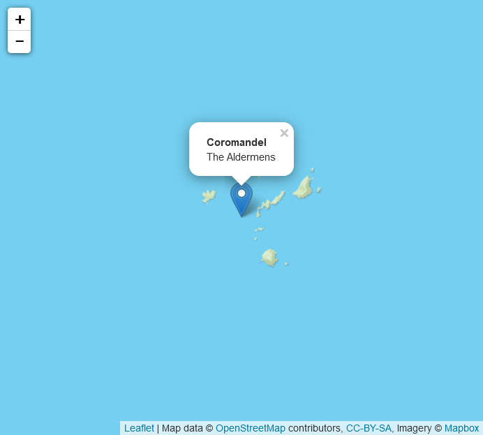
Coromandel The Aldermens
DESCRIPTION
Dive Site Review by Tom Crisp
The Aldermen islands are almost unmapped territory due to the many pins ascending from the sea floor and lurking in the shallows making it hard for vessels to navigate. The most extensive map charted has been made by Jim Hope, the skipper of the MV Taranui.
A lot of the mapping was thanks to sonar but on occasion he has found pins by feel (by using the bottom of the boat).
The Aldermen Islands are often referred to as the vanishing volcanoes. Hongiora, Ruamahua-iti, The Spire and Ruamahua-nui Islands (from West to East) are mere remnants of a once far larger volcanic complex, consisting of rhyolite domes and associated ignimbrite and breccia deposits.
This group of precipitous, rocky islands was originally named The Court of Aldermen by Captain James Cook as he sailed past in 1769, and from the sea they are certainly are a very imposing sight. The islands have been protected since 1933, and now constitute one of the most important wildlife sanctuaries in the region. They are administered as part of the Hauraki Gulf Maritime Park.
The Islands themselves are known as the Poor Knights of the Coromandel because of the topography and frequently water clarity. Dive sites range from the ‘Honey Comb Caves’, ‘Lens Reef’ and the ‘36’ for experienced divers to ‘Ugly Point’ (not so ugly) and ‘Rolex’ for beginners.
Kingies are regularly seen in the area along with almost every other reef fish known to New Zealand waters, even a turtle was recently sighted.
The Aldermens offers an amazing diversity of species without the restraints of a full marine reserve making it perfect for all divers.
All in all well worth the visit.